
Pomponius Mela (Pomponius Mela) (Iulia Traducta, … – Rome, after AD 43) was a Roman geographer and writer.
Little is known about the author who was probably born in Baetica (Spain), in the Roman colony of Iulia Traducta (identified by some scholars with Algeciras), and who may have been related to the Senecas.
If this latter hypothesis is accepted, he may have lived during the 1st century AD, at least until the reign of Emperor Claudius, whom he celebrates for the conquest of Britain in AD 43.
Pomponius Mela is the author of the oldest surviving geographical work in Latin literature, preserved in three books under various titles: De chorographia (“Description of Places”) or De situ orbis.
The work, as its titles already suggest, aims to describe the known world.
Pomponius Mela, born at the limits of the Pillars of Hercules, was deeply influenced by a fascination with the world and with remote and little-known places.
Indeed, his work, based on earlier Greek and Roman sources (Caesar, Livy, Cornelius Nepos, Posidonius, Eratosthenes, and Herodotus), defines the boundaries of the earth by describing the most distant places: taking the Mediterranean as its point of reference and starting from Gibraltar, it follows, in a counterclockwise direction, a description of the oikoumene, that is, the inhabited world, dwelling particularly on coastal regions while treating inland territories more briefly.
He is also one of the earliest writers to refer to China, describing its inhabitants as seres genus plenum iustitiae (“a people full of justice”).
Despite its lack of scientific rigour, the work is fundamental for understanding Roman geographical knowledge in the 1st century AD and influenced European geographical culture until the Renaissance.
In Book II of his work, Pomponius Mela devotes considerable attention to the geography of Europe, including a detailed description of Italy and the great islands of the Mediterranean, thus offering an important snapshot of the Roman world of the 1st century AD.
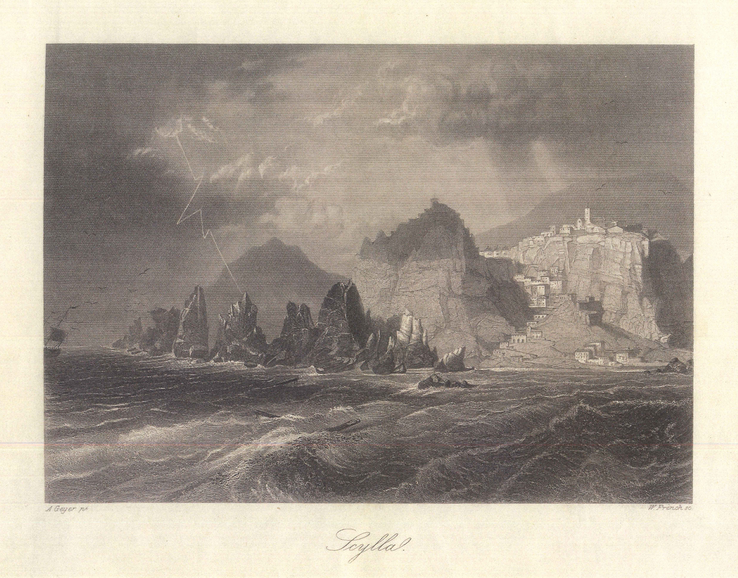
Within this context, Scilla is mentioned in two distinct and significant moments: first, it appears in the description of Southern Italy, as the extreme point of the peninsula and a fundamental geographical reference in the strait separating Italy from Sicily; subsequently, in the transition to the description of Sicily, Scilla reappears as an element of orientation and connection between the two lands.
This dual presence highlights not only the strategic centrality of Scilla from a geographical perspective within the ancient Mediterranean context, but also the significance that its evocation held in the collective imagination of Greco-Roman society, due to the deep-rooted presence of the ancient myths associated with it, which made it a landmark capable of shaping the perception of the surrounding territories.
“Sicily, it is said, was once part of the mainland and joined to the Bruttian territory, from which it was later separated by the Strait of the Sicilian Sea. This strait is narrow and dangerous because of the alternating movement of the sea, now toward the Tyrrhenian, now toward the Ionian; fierce, terrifying, and famous for the dreadful names of Scylla and Charybdis: Scylla is a rock, and Charybdis a whirlpool of the sea, both fatal to those who approach them.
The island is large and extends into the sea with three promontories pointing in different directions, resembling the Greek letter called Delta.
The promontory facing Greece is called Pachynus, that facing Africa Lilybaeum, and Peloris that which turns toward Italy and stands opposite Scilla.
The reason for this name was a certain Pelorus, a pilot buried there by Hannibal; for Hannibal, fleeing from Africa and passing through those regions on his way to Syria, since from afar it seemed to him that the shores were joined together and that the sea was impassable, killed him, believing himself betrayed.”
After establishing the geographical position of Sicily, Pomponius Mela focuses his attention on a crucial point: the stretch of sea separating Sicily from Italy.
It is within this narrow space, a true place of passage and boundary, that Scilla emerges alongside Charybdis.
Their placement is not accidental: they represent the most dangerous section of the strait and embody its threatening nature, invoking a reputation that goes beyond simple geographical description and draws upon mythological and literary tradition.
The centrality of Scilla emerges precisely in this context: the town and its rock are not merely physical elements of the landscape, but a pivotal point in the ancient perception of Mediterranean space.
Scilla marks the extreme limit of Sicily toward Italy and serves as the principal reference point for defining the strait, so much so that the Sicilian promontory facing the peninsula is described as being “opposite Scilla,” facing Scilla.
In this way, the figure — both mythical and geographical — of Scilla becomes a true point of orientation, capable of structuring the description of the surrounding territory.
The subsequent enumeration of the island’s three promontories (Pelorus, Pachynus, Lilybaeum) confirms this structuring function: Pelorus, facing Italy, is defined in direct relation to Scilla, while the other two are positioned in relation to Greece and Africa.
Scilla, therefore, is the symbolic and geographical fulcrum through which Pomponius Mela articulates the relationship between Sicily, Italy, and the Mediterranean.
The passage concludes with the recollection of the ancient legend connected to the attribution of the name Pelorus to this sandy tongue of land which, opposite the Rock of Scilla, marks the northern entrance to the Strait of Messina: a story in which myth, geography, and human destiny are intertwined.
It is said that Hannibal, fleeing from Africa, was crossing these waters on his way to Syria.
It was a journey full of dangers, and his attention was constantly directed toward the sea and the shores passing before his eyes.
Upon reaching the strait, looking from afar at the two coasts, Hannibal had the impression that they were so close together as to seem united, as if no passage existed between them.
Deceived by this vision, he believed he had been betrayed by his pilot, Pelorus, and, seized by suspicion, killed him, later burying him in that place. It was this act that gave the site its name.
But the legend is not merely an abstract tale: it is also a reflection on the extraordinary geography of the Strait of Messina, a place where the shores approach one another so closely that they seem united and where the waters are compressed between rocks and dangerous currents.
Here nature itself deceives the human eye and tests even the greatest of men, demonstrating how misleading perception can be.
Giuseppe Ribuffo
