
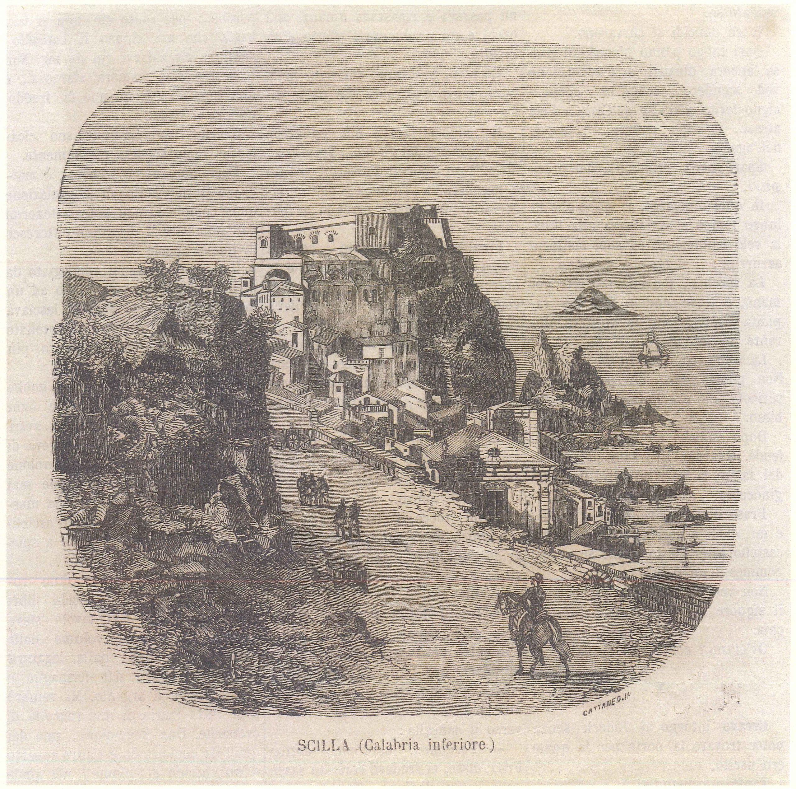
Gaius Plinius Secundus (Como, AD 23 – Stabiae, 24 October AD 79) was a Roman writer, naturalist, philosopher of nature, military commander, and provincial governor. Under the Empire of Vespasian he held important public offices, becoming first his advisor and then that of Titus. Pliny’s fame is also linked to his death, of which we have testimony from his nephew, Pliny the Younger. Pliny the Elder was commander of the Roman fleet stationed at Cape Misenum when one of the greatest catastrophes in history occurred, the eruption of Mount Vesuvius in AD 79. Rushing to aid the inhabitants of Stabiae, Pliny was no longer able to leave the city’s harbour and died from the volcanic fumes. Pliny wrote many works, which are now lost except for a few fragments. The only work to survive in its entirety, in 37 books, is his masterpiece, the Naturalis Historia (AD 75); a vast encyclopedia, a term coined by Pliny himself, dealing with astronomy, geography, anthropology, zoology, botany, medicine, mineralogy, and art. This work, read and studied throughout subsequent centuries, especially during the Middle Ages and the Renaissance, today represents a fundamental document of the scientific knowledge of antiquity. In Book III of the Naturalis Historia, geographical and ethnological in character, Pliny devotes considerable space to the geography of Western and Southern Europe, including a detailed description of Italy and the Mediterranean, offering an important snapshot of the Roman world of the 1st century AD. In this context, Scilla is mentioned in two distinct and significant moments. First, Pliny refers to it within his description of Southern Italy, as the extreme point of the peninsula and a fundamental geographical reference in the strait separating Italy from Sicily. Subsequently, in the transition to the description of Sicily, Scilla reappears as an element of orientation and connection between the two lands. This dual presence highlights not only the strategic centrality of Scilla from a geographical perspective within the ancient Mediterranean context, but also the significance that its evocation held in the collective imagination of Greco-Roman society, owing to the deep-rooted presence of the ancient myths associated with it, making it a landmark capable of shaping the perception of the surrounding territories.
Book III, description of Southern Italy:
“From the River Silarus begins the third region and the territory of the Lucanians and Bruttians; here too changes of population were not uncommon. The Pelasgians, Oenotrians, Itali, Morgetes, Sicels, and above all peoples of Greece inhabited it, and lastly the Lucanians descended from the Samnites whose leader was Lucius. There are the cities of Paestum, which the Greeks call Posidonia, the Gulf of Paestum, the city of Helia, now called Velia. The Promontory of Palinurus, which is one hundred miles from the Reggian Column.
Nearby are the River Melpes, the city of Buxentum called Pyxus by the Greeks, the River Laos: there was also once a city of that name.
From here are found the Bruttian coast, the city of Blanda, the River Baletus, the Phocaean Harbour of Parthenius, the Vibonian Gulf, the locality of Clampetia, the city of Tempsa, called Temese by the Greeks, the city of Terina of the Crotoniates, and the vast Terinaean Gulf.
[…] On a peninsula is the River Acheron, from which the local inhabitants are called Acherontini. There are Hipponium, which we now call Vibo Valentia, the Harbour of Hercules, the River Metaurus, the city of Tauroentum, the Harbour of Orestes and Medma. Then the city of Scilla, the river of the nymph Crataeis, mother, as they say, of Scilla. Then comes the Reggian Column, the Strait of Sicily, and the two promontories facing one another, on the side of Italy Caenys, and on the side of Sicily Pelorus, twelve stadia apart.”
Pliny describes Southern Italy, providing a geographical and historical survey of Lucania and Calabria. The account follows Pliny’s typical method: a succession of peoples, cities, and rivers that constructs a “narrative map” of the territory, in which physical geography, historical memory, and mythical tradition are intertwined. After recalling the ethnic instability of the region, inhabited over time by many different peoples, he lists the principal cities and natural features of the Tyrrhenian coast.
The itinerary proceeds along the coastline from north to south: Paestum, Velia, the Promontory of Palinurus, the rivers, and the smaller settlements. Within this context, Scilla assumes a central and symbolic value. After an enumeration of predominantly historical and geographical locations, Pliny suddenly introduces the city of Scilla together with the mythological reference to the river of the nymph Crataeis, mother of Scilla according to tradition. This passage marks a turning point in the narrative: the geographical description culminates in a place that is not merely a strategic physical space, but also one of the densest nodes of the Mediterranean mythical imagination. Scilla represents the point of contact between geography and myth.
Its position, immediately before the Reggian Column and the Strait of Sicily, is not accidental: Pliny places it at the most complex point of the journey, where ancient navigation encountered the passage between two seas and two worlds. Scilla thus becomes a kind of threshold, a liminal place introducing the strait, dominated by the forces of nature and myth. The reference to the mythical genealogy of Scilla, daughter of the nymph Crataeis, reinforces this centrality: Pliny does not merely record a place name, but consciously evokes a well-known poetic tradition that recalls the ancestral fear of the sea. In this way, the description of the territory reaches its narrative climax precisely with Scilla, which embodies geographical knowledge, cultural memory, and myth. Immediately afterwards, the text moves to the Strait of Sicily and the promontories of Caenys and Pelorus, concluding the route with a precise reference to distances and spatial configuration.
Scilla therefore acts as a hinge between land and sea, between the human world and the monstrous one, confirming its central role in Pliny’s construction of the landscape of Southern Italy.
Book III, description of Sicily:
“Among all islands Sicily surpasses the others in fame, called Sicania by Thucydides, by many Trinacria or Trinacia because of its triangular shape; it has a circumference of six hundred and eighteen miles, as attested by Agrippa; once joined to the Bruttian territory, it was later separated by a stretch of sea fifteen miles long and one thousand five hundred paces wide up to the Reggian Column. […] In that strait of sea there is the rock of Scilla and also the whirlpool of Charybdis, both places famous for their danger. As we have said, the promontory of Sicily itself which faces Italy opposite Scilla is called Pelorus, that which faces Greece is called Pachynus, four hundred and forty miles distant from the Morea, and that which faces Africa is called Lilybaeum and is one hundred and eighty miles distant from the Promontory of Mercury, and one hundred and twenty from Cagliari in Sardinia.”
After establishing the dimensions and geographical position of Sicily through “scientific” data (its circumference according to Agrippa and its distance from Calabria), Pliny focuses attention on a crucial point: the stretch of sea separating Sicily from Italy.
It is within this narrow space, a true place of passage and boundary, that Scilla emerges, alongside Charybdis. Their placement is not accidental: Scilla and Charybdis represent the most dangerous section of the strait and embody its threatening nature.
Pliny indeed emphasizes that they are “places famous for their danger,” invoking a renown that goes beyond simple geographical description and draws upon mythological and literary tradition.
The centrality of Scilla emerges precisely here: the city and its rock are not merely physical elements of the landscape, but a pivotal point in the ancient perception of Mediterranean space.
Scilla marks the extreme limit of Sicily toward Italy and serves as the principal reference point for defining the strait, so much so that the Sicilian promontory facing the peninsula is described as being “opposite Scilla”.
In this way, the figure of Scilla—both mythical and geographical—becomes a true point of orientation, capable of structuring the description of the surrounding territory.
The subsequent enumeration of the island’s three promontories (Pelorus, Pachynus, Lilybaeum) confirms this structuring function: Pelorus, facing Italy, is defined in direct relation to Scilla, while the other two are positioned in relation to Greece and Africa through precise distances.
Scilla, therefore, is the symbolic and geographical fulcrum through which Pliny articulates the relationship between Sicily, Italy, and the Mediterranean.
Giuseppe Ribuffo
